A close look, however, reveals that the map is deceptive in two ways. First, it is based on pre-pandemic data. The map includes Ann Arbor, Mich.; Baltimore; Champaign, Ill.; Pittsburgh; Portland; and State College, Pa., in the 5-10% category, but none of these areas qualify today.
Second, the map shows metropolitan areas. This is deceptive because most of the land in metropolitan areas is rural and far less than 5% of workers in those rural areas commute by transit.
Metro areas, or more formally, metropolitan statistical areas, consist of urban areas and all of the counties in which part of those urban areas cover. The 530-square-mile Portland urban area, for example, includes parts of seven different counties. Those seven counties cover 6,820 square miles, or nearly 13 times the size of the urban area. By showing metro areas rather than counties, the map greatly exaggerates the area where transit plays an important role.
![]()
I’ve updated and corrected the map to include only urban areas where more than 5% of workers commuted by transit in 2024. The original map used magenta, red, and orange for metro areas where more than 30%, 10% to 20%, and 5% to 10% used transit. New York was the only area that was more than 30% but it declined since the pandemic to 28%. It is shown in lavender, while 10%-to-20% areas are red and 5%-to-10% areas are orange.
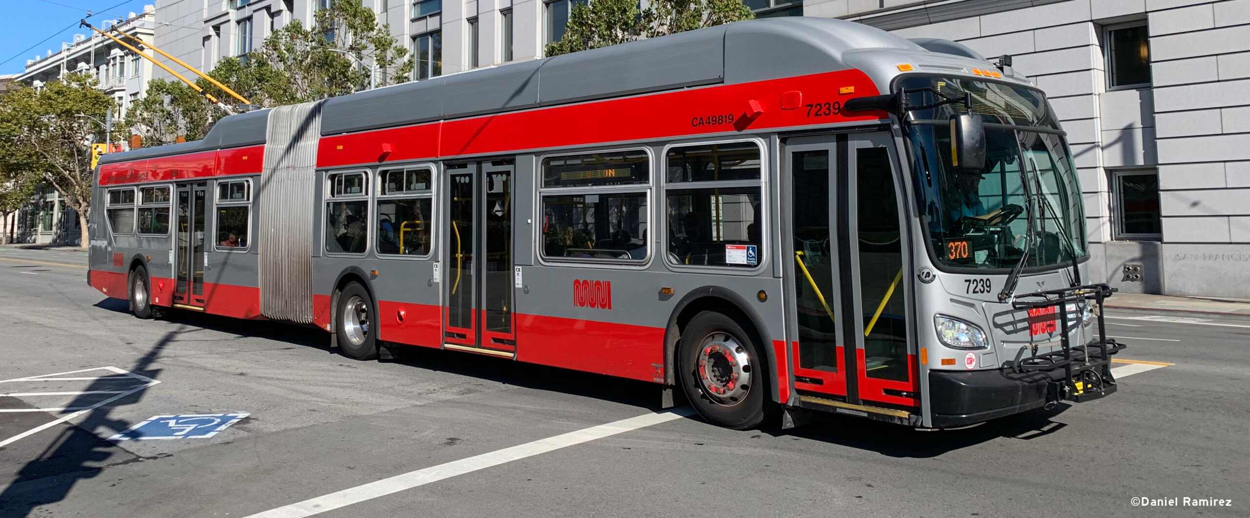
In addition to New York, only eight independent urban areas qualified: San Francisco-Oakland (12.9%), Boston (10.9%), Washington (10.6%), Chicago (9.7%), Philadelphia (7.9%), Seattle (69%), Honolulu (6.1%) and Madison (5.4%). Five satellite areas to some of the major urban areas also qualified: Bridgeport-Stamford, Conn. (9.1%), Concord-Walnut Creek, Calif. (6.1%), Livermore, Calif. (6.0%), Poughkeepsie, N.Y. (5.1%) and Bremerton, Wash. (5.1%). These satellites only exceeded 5% because many people in them commuted to the nearby major urban area.
My map doesn’t show Honolulu because Hawaii wasn’t on my base map. The Amazing Maps map also doesn’t show Honolulu even though Hawaii was on its base map and about 7.2% of workers in urban Honolulu commuted by transit before the pandemic.
For what it’s worth, less than one-half percent of the land in the 48 contiguous states is in urban areas where more than 5% of workers commute by transit. Those urban areas house about 53-million people, or about one-fifth of the residents of the nation’s 430 urban areas or less than one-sixth of all U.S. residents.
One of the commenters on the Facebook post stated that the areas on the map were “the only places that have serious public transport.” Someone else added, “If you build it, they will come.” I don’t know how the commenter defines “serious public transport,” but many urban areas that have spent billions of dollars building transit systems didn’t make it on the map.
Most of them weren’t even close to 5%: Atlanta was just 1.9%, Dallas 0.8%, Denver 2.3%, Los Angeles 3.7%, Minneapolis-St. Paul 2.6%, Portland 4.0%, St. Louis 2.1%, San Diego 2.0% and San Jose was 3.0%. Note that Honolulu was more than 7% before the pandemic despite being solely a bus system. Transit had an even larger share before the city started building rail.
Another commenter asserted that the areas on the map “also happen to be the most economically productive places.” That’s a bold claim. Note that Silicon Valley is not on either map. Nor are Atlanta, Dallas, Denver, Houston or Los Angeles. I doubt anyone could find a correlation between economic productivity and transit ridership.
People in just about every urban area in the country are paying significant taxes to support their local transit systems. These maps show that this is rarely worthwhile.
This article was reprinted with permission from The Antiplanner, a blog dedicated to ending government land-use regulation, comprehensive planning and transportation boondoggles.